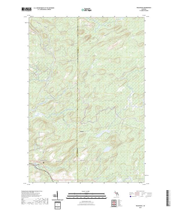
2023 Map of Waucedah
USGS Topo · Published 2023About this map
The unincorporated community of Waucedah lies at the intersection of local history and modern recreation in this portion of the Upper Peninsula. Situated on the border between Dickinson Co and Menominee Co, the landscape is defined by the winding course of the Sturgeon River and the Little Cedar River. For those tracing family history, the Waucedah Township Cem serves as a critical geographic marker near Hamilton Creek. The area’s contemporary identity is shaped by its extensive trail systems, including the Iron Mountain To Norway State Trl and the Snowmobile Trail 115, which utilize former rail grades or logging corridors. The map details a transition from the structured plots of the t39n r28w township toward the more dispersed settlement of Leapers, revealing how the timber-rich terrain continues to be navigated via a network of forest roads like Cassidy Creek Rd and Old CC Rd.
Find a feature on this map
42 named features on this map. Tap any name to fly to it.
Don’t see what you’re looking for? This feature index may not catch every label — zoom into the map to look around manually.
Map Details
Editions of this 2023 Waucedah Map
This is the sole edition of this map. No revisions or reprints were ever made.
Other maps of this area

1939 · Pembine
USGS Topo · 1:48,000

1947 · Pembine
USGS Topo · 1:48,000

1954 · Escanaba
USGS Topo · 1:250,000

1955 · Vulcan
USGS Topo · 1:24,000

1955 · Norway
USGS Topo · 1:62,500

1956 · Foster City
USGS Topo · 1:62,500

1957 · Escanaba
USGS Topo · 1:250,000

1958 · Escanaba
USGS Topo · 1:250,000

1963 · Pembine
USGS Topo · 1:62,500

1963 · Powers
USGS Topo · 1:62,500