
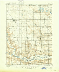
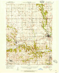
1908 Map of Waukee
USGS Topo · Published 1908About this map
Dallas Center and Waukee anchor this 1906 survey of the prairie landscape west of Des Moines, where the grid of sections is heavily influenced by the meandering courses of the North Raccoon River and South Raccoon River. The era is defined by a dense rail network, with the Chicago Milwaukee and St. Paul R. R. and the St. Louis R. R. intersecting to create junction towns and shipping points for local agriculture.
Find a feature on this map
41 named features on this map. Tap any name to fly to it.
Don’t see what you’re looking for? This feature index may not catch every label — zoom into the map to look around manually.
Map Details
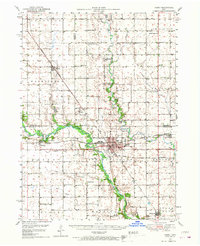
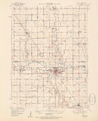
Editions of this 1908 Waukee Map
2 editions found
Other maps of this area

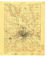
1905 · Des Moines
USGS Topo · 1:62,500
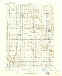
1907 · Des Moines
USGS Topo · 1:62,500

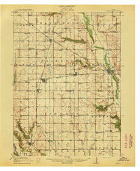
1911 · Madrid
USGS Topo · 1:62,500
1911 · Slater
USGS Topo · 1:62,500
1913 · Slater
USGS Topo · 1:62,500

1914 · Madrid
USGS Topo · 1:62,500

1931 · Indianola
USGS Topo · 1:62,500
1949 · Adel
USGS Topo · 1:62,500
1950 · Perry
USGS Topo · 1:62,500
1951 · Perry
USGS Topo · 1:62,500