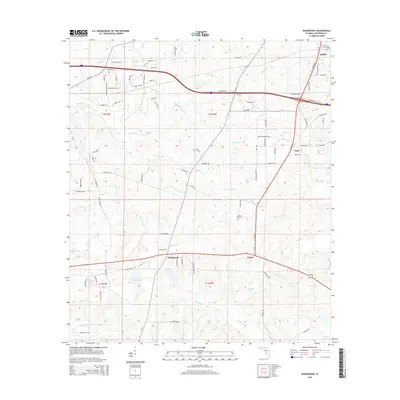
2015 Map of Waukeenah
USGS Topo · Published 2015About this map
Waukeenah and Capps anchor this portion of Jefferson County, where the landscape transitions from established crossroads to the intricate wetlands of the Florida Panhandle. The area is defined by a dense network of watercourses, including Morris Br and Cooksey Br, which feed into numerous small lakes and ponds. To the north, the settlements of Drifton and Nash sit near the junction of local transit corridors like Thompson Valley Rd and Old Drifton Rd.
Find a feature on this map
88 named features on this map. Tap any name to fly to it.
Don’t see what you’re looking for? This feature index may not catch every label — zoom into the map to look around manually.
Map Details
Editions of this 2015 Waukeenah Map
This is the sole edition of this map. No revisions or reprints were ever made.
Other maps of this area

1954 · Lloyd
USGS Topo · 1:24,000

1954 · Cody
USGS Topo · 1:24,000

1954 · Valdosta
USGS Topo · 1:250,000

1954 · Tallahassee
USGS Topo · 1:250,000

1955 · Lamont
USGS Topo · 1:24,000

1955 · Waukeenah
USGS Topo · 1:24,000

1955 · Lamont SE
USGS Topo · 1:24,000

1955 · Wacissa
USGS Topo · 1:24,000

1958 · Valdosta
USGS Topo · 1:250,000

1959 · Tallahassee
USGS Topo · 1:250,000