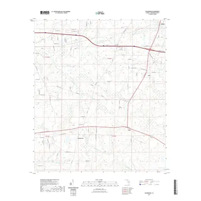
2021 Map of Waukeenah
USGS Topo · Published 2021About this map
Waukeenah and Capps anchor the southern portion of this landscape in Jefferson County, where the terrain is defined by numerous small lakes and meandering creek branches. Local heritage is preserved at sites like Mount Olive Cem and the Boland Cemetary, which sit amid a network of rural roads such as Boland Cemetary Rd and Ebenezer Church Rd. The geography is notably shaped by hydrographic features, including Wooten Lake and Galilee Lake, alongside various watercourses like Burnt Mill Cr and Cooksey Br. In the northern reaches, the community of Drifton marks a focal point near the crossing of regional transit lines. The land is partitioned into several township divisions, including t1n r3e and t1s r4e, reflecting the structured rural development of northern Florida.
Find a feature on this map
92 named features on this map. Tap any name to fly to it.
Don’t see what you’re looking for? This feature index may not catch every label — zoom into the map to look around manually.
Map Details
Editions of this 2021 Waukeenah Map
This is the sole edition of this map. No revisions or reprints were ever made.
Other maps of this area

1954 · Lloyd
USGS Topo · 1:24,000

1954 · Cody
USGS Topo · 1:24,000

1954 · Valdosta
USGS Topo · 1:250,000

1954 · Tallahassee
USGS Topo · 1:250,000

1955 · Lamont
USGS Topo · 1:24,000

1955 · Waukeenah
USGS Topo · 1:24,000

1955 · Lamont SE
USGS Topo · 1:24,000

1955 · Wacissa
USGS Topo · 1:24,000

1958 · Valdosta
USGS Topo · 1:250,000

1959 · Tallahassee
USGS Topo · 1:250,000