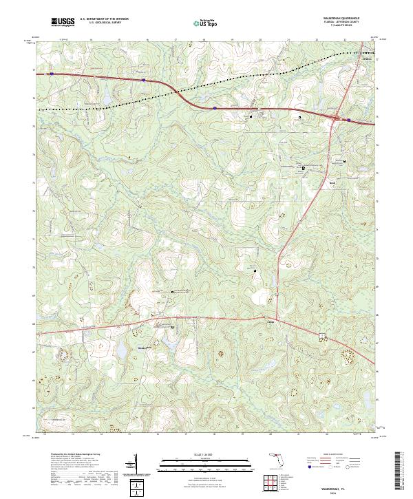
2024 Map of Waukeenah
USGS Topo · Published 2024About this map
Waukeenah anchors this portion of Jefferson County, where the landscape is defined by a dense network of wetlands and creek branches. The settlement patterns here are deeply connected to faith and family history, evidenced by the high concentration of small community burial grounds and houses of worship. Notable sites include the Waukeenah United Methodist Church and its associated Cem, along with the New Bethel Missionary Baptist Church further north.
Find a feature on this map
104 named features on this map. Tap any name to fly to it.
Don’t see what you’re looking for? This feature index may not catch every label — zoom into the map to look around manually.
Map Details
Editions of this 2024 Waukeenah Map
This is the sole edition of this map. No revisions or reprints were ever made.
Other maps of this area

1954 · Lloyd
USGS Topo · 1:24,000

1954 · Cody
USGS Topo · 1:24,000

1954 · Valdosta
USGS Topo · 1:250,000

1954 · Tallahassee
USGS Topo · 1:250,000

1955 · Lamont
USGS Topo · 1:24,000

1955 · Waukeenah
USGS Topo · 1:24,000

1955 · Lamont SE
USGS Topo · 1:24,000

1955 · Wacissa
USGS Topo · 1:24,000

1958 · Valdosta
USGS Topo · 1:250,000

1959 · Tallahassee
USGS Topo · 1:250,000