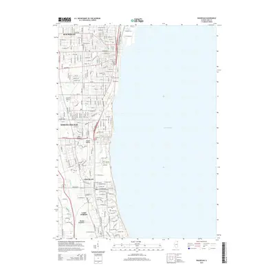
2015 Map of Waukegan
USGS Topo · Published 2015About this map
Lake Michigan dominates the eastern expanse of this coastal survey, where the urban corridor of Lake County meets the shoreline. The industrial and residential reach of Waukegan and North Chicago is visible in the dense street grids and transportation arteries like the Amstutz Expy. To the south, the landscape shifts toward the wooded suburban character of Lake Bluff and Lake Forest, anchored by institutions such as Lake Forest Coll.
Find a feature on this map
26 named features on this map. Tap any name to fly to it.
Don’t see what you’re looking for? This feature index may not catch every label — zoom into the map to look around manually.
Map Details
Editions of this 2015 Waukegan Map
This is the sole edition of this map. No revisions or reprints were ever made.
Other maps of this area

1899 · Evanston
USGS Topo · 1:62,500

1900 · Highwood
USGS Topo · 1:62,500

1906 · Waukegan
USGS Topo · 1:62,500

1908 · Waukegan
USGS Topo · 1:62,500

1928 · Wheeling
USGS Topo · 1:24,000

1928 · Highland Park
USGS Topo · 1:24,000

1951 · Highland Park
USGS Topo · 1:24,000
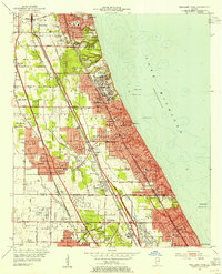
1953 · Highland Park
USGS Topo · 1:24,000
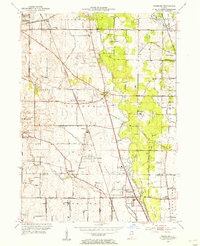
1953 · Wheeling
USGS Topo · 1:24,000

1958 · Racine
USGS Topo · 1:250,000