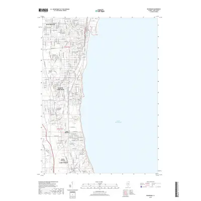
2018 Map of Waukegan
USGS Topo · Published 2018About this map
Waukegan and the industrial lakefront of North Chicago dominate this Lake County survey, showing the established grid of the city alongside the waters of Lake Michigan. The map details a landscape deeply influenced by educational and civic institutions, featuring the campus of Rosalind Franklin Univ of Medicine and Science and the sprawling grounds of Lake Forest College. Inland, the terrain is marked by significant historical burial grounds such as Oakwood Cem and Saint Marys Cem.
Find a feature on this map
37 named features on this map. Tap any name to fly to it.
Don’t see what you’re looking for? This feature index may not catch every label — zoom into the map to look around manually.
Map Details
Editions of this 2018 Waukegan Map
This is the sole edition of this map. No revisions or reprints were ever made.
Other maps of this area

1899 · Evanston
USGS Topo · 1:62,500

1900 · Highwood
USGS Topo · 1:62,500

1906 · Waukegan
USGS Topo · 1:62,500

1908 · Waukegan
USGS Topo · 1:62,500

1928 · Wheeling
USGS Topo · 1:24,000

1928 · Highland Park
USGS Topo · 1:24,000

1951 · Highland Park
USGS Topo · 1:24,000
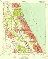
1953 · Highland Park
USGS Topo · 1:24,000
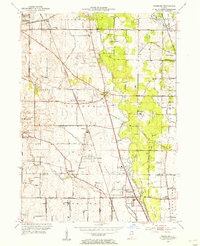
1953 · Wheeling
USGS Topo · 1:24,000

1958 · Racine
USGS Topo · 1:250,000