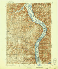
1903 Map of Waukon
USGS Topo · Published 1944About this map
The Mississippi River dominates this landscape at the turn of the century, serving as the primary geographic and economic divide between Iowa and Wisconsin. Along the western bluffs, the Chicago Milwaukee and St. Paul RR tracks follow the water, connecting river towns like Lansing and Harpers Ferry to the interior. The inland terrain of Allamakee County is deeply dissected by drainage systems such as the Yellow River and Paint Creek, which supported early industrial sites like Forest Mills. Settlement patterns at this time show established towns like Waukon and Monona serving as agricultural hubs, while smaller, named locales such as Volney and Egan highlight the density of late 19th-century rural life. The complex network of islands and channels within the Mississippi, including the areas near Lafayette and Taylor, illustrates the river's character before the modern lock and dam system reshaped its banks.
Find a feature on this map
86 named features on this map. Tap any name to fly to it.
Don’t see what you’re looking for? This feature index may not catch every label — zoom into the map to look around manually.
Map Details
Editions of this 1903 Waukon Map
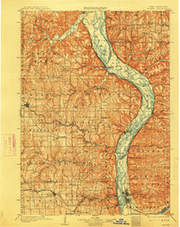
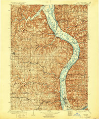
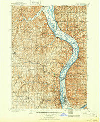
5 editions found
Other maps of this area

1900 · Lancaster
USGS Topo · 1:125,000

1901 · Oelwein
USGS Topo · 1:125,000

1902 · Elkader
USGS Topo · 1:125,000

1903 · Waukon
USGS Topo · 1:125,000

1904 · Lancaster
USGS Topo · 1:125,000

1906 · Decorah
USGS Topo · 1:125,000

1908 · Lancaster
USGS Topo · 1:125,000

1923 · Viroqua
USGS Topo · 1:62,500

1924 · Gays Mills
USGS Topo · 1:62,500

1926 · Gays Mills
USGS Topo · 1:62,500