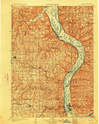
1903 Map of Waukon
USGS Topo · Published 1914About this map
The Mississippi River dominates this early twentieth-century survey, acting as both a natural boundary and a vital artery between Allamakee County, Iowa, and the Wisconsin counties of Crawford and Vernon. The intricate network of islands and sloughs along the riverbanks is meticulously detailed, showing the landscape before modern locks and dams altered the river's character. Inland, the seat of Waukon serves as a hub for the Chicago Milwaukee and St. Paul RR, which branches eastward toward the river at Waukon Junc. and Lansing. Small rural communities like Forest Mills, Rossville, and Volney dot the interior, connected by early roads through the township divisions of Makee and Jefferson. The drainage of the Yellow River and Paint Creek reveals the deep dissection of the plateau, providing a clear picture of the region's topography during the peak of its rail-and-river economy.
Find a feature on this map
101 named features on this map. Tap any name to fly to it.
Don’t see what you’re looking for? This feature index may not catch every label — zoom into the map to look around manually.
Map Details
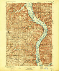
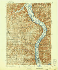
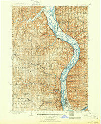
Editions of this 1903 Waukon Map
5 editions found
Other maps of this area

1900 · Lancaster
USGS Topo · 1:125,000

1901 · Oelwein
USGS Topo · 1:125,000

1902 · Elkader
USGS Topo · 1:125,000

1903 · Waukon
USGS Topo · 1:125,000

1904 · Lancaster
USGS Topo · 1:125,000

1906 · Decorah
USGS Topo · 1:125,000

1908 · Lancaster
USGS Topo · 1:125,000

1923 · Viroqua
USGS Topo · 1:62,500

1924 · Gays Mills
USGS Topo · 1:62,500

1926 · Gays Mills
USGS Topo · 1:62,500