2022 Map of Waumandee
USGS Topo · Published 2022About this map
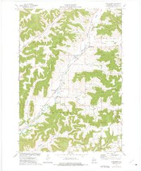
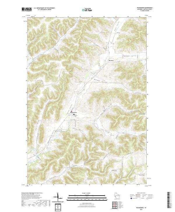
The settlement of Waumandee and the community of Montana are the primary focal points of this Buffalo County landscape, which is defined by a complex network of narrow valleys and high ridges. The area's settlement pattern follows the drainage of Waumandee Creek and its tributaries, including Little Waumandee Cr and Eagle Cr. Genealogists will find the locations of Saint Boniface Cem and the Waumandee Cem particularly useful for tracing family ties in this rural Wisconsin territory. The map labels numerous coulees and valleys named for early settlers, such as Hesch Valley, Schoepp Valley, and Knecht Valley, alongside prominent geographic features like Montana Ridge and Canada Ridge. This topography created a decentralized layout of farms and homesteads, connected by winding routes like Rotering Ridge Rd and Canada Ridge Rd that navigate the high ground between the valleys.
Find a feature on this map
56 named features on this map. Tap any name to fly to it.
Don’t see what you’re looking for? This feature index may not catch every label — zoom into the map to look around manually.
Map Details
Editions of this 2022 Waumandee Map
This is the sole edition of this map. No revisions or reprints were ever made.