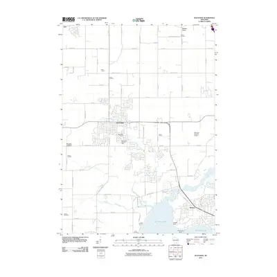
2010 Map of Waunakee
USGS Topo · Published 2010About this map
Waunakee sits at the heart of this survey, surrounded by the evolving landscape of northern Dane County. The transition from agricultural roots to suburban expansion is evident in the inclusion of Bicklers Apple Farm and Fabrita Orchard alongside growing residential footprints. To the north, the small settlement of Dane and the Norway Grove area maintain a rural character, marked by the Vienna Cemetery and Matsen Cemetery, which provide valuable location data for genealogists tracing local families.
Find a feature on this map
53 named features on this map. Tap any name to fly to it.
Don’t see what you’re looking for? This feature index may not catch every label — zoom into the map to look around manually.
Map Details
Editions of this 2010 Waunakee Map
This is the sole edition of this map. No revisions or reprints were ever made.
Other maps of this area

1890 · Madison
USGS Topo · 1:62,500

1892 · Madison
USGS Topo · 1:62,500

1895 · Baraboo
USGS Topo · 1:62,500

1901 · Poynette
USGS Topo · 1:62,500

1904 · Madison
USGS Topo · 1:62,500

1906 · Madison
USGS Topo · 1:62,500

1907 · Cross Plains
USGS Topo · 1:62,500

1908 · Baraboo
USGS Topo · 1:62,500

1909 · Cross Plains
USGS Topo · 1:62,500

1957 · Madison
USGS Topo · 1:250,000