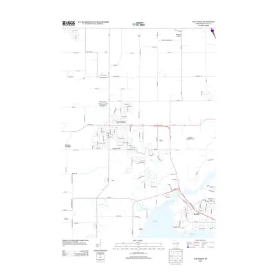
2013 Map of Waunakee
USGS Topo · Published 2013About this map
The village of Waunakee serves as the focal point of this 2013 survey, showcasing its growth northward from the northern shores of Lake Mendota. This landscape is defined by its glacial heritage, most notably at the Westport Drumlin Prairie, where the distinctive topography of the region is preserved. The map illustrates a transition from established agricultural holdings such as Maier Farms and orchards like Fabrita Orchard to suburban expansion. Waterways like the Yahara River, Sixmile Creek, and Dorn Creek drain the surrounding basin, converging toward the lake. Local infrastructure and recreational sites are well-documented, including the Waunakee Airport, Dane Airport, and Camp Indianola along the shoreline. Smaller settlements and rural junctions like Norway Grove, Kingsley Corners, and Mendota provide important geographic context for the surrounding township, while Farwells Point marks a prominent landmark on the water's edge.
Find a feature on this map
124 named features on this map. Tap any name to fly to it.
Don’t see what you’re looking for? This feature index may not catch every label — zoom into the map to look around manually.
Map Details
Editions of this 2013 Waunakee Map
This is the sole edition of this map. No revisions or reprints were ever made.
Other maps of this area

1890 · Madison
USGS Topo · 1:62,500

1892 · Madison
USGS Topo · 1:62,500

1895 · Baraboo
USGS Topo · 1:62,500

1901 · Poynette
USGS Topo · 1:62,500

1904 · Madison
USGS Topo · 1:62,500

1906 · Madison
USGS Topo · 1:62,500

1907 · Cross Plains
USGS Topo · 1:62,500

1908 · Baraboo
USGS Topo · 1:62,500

1909 · Cross Plains
USGS Topo · 1:62,500

1957 · Madison
USGS Topo · 1:250,000