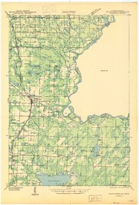
1947 Map of Wausaukee
USGS Topo · Published 1947About this map
Wausaukee serves as the central hub of this northern Wisconsin landscape, situated where the Chicago Milwaukee St Paul and Pacific railroad intersects the Wausaukee River. The map reveals a post-war rural infrastructure defined by scattered schoolhouses, including Nulf Sch, Barker Sch, and Popple Grove Sch, reflecting the community-centric settlement pattern of the era. To the east, the Menominee River marks the state boundary, featuring the White Rapids Dam and the complex channels of Sixty Islands.
Find a feature on this map
64 named features on this map. Tap any name to fly to it.
Don’t see what you’re looking for? This feature index may not catch every label — zoom into the map to look around manually.
Map Details
Editions of this 1947 Wausaukee Map
This is the sole edition of this map. No revisions or reprints were ever made.
Other maps of this area
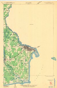
1939 · Marinette
USGS Topo · 1:48,000
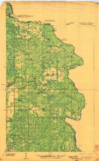
1939 · Pembine
USGS Topo · 1:48,000
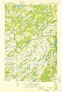
1939 · Porterfield
USGS Topo · 1:48,000
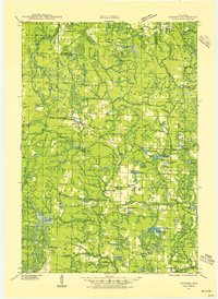
1939 · Dunbar
USGS Topo · 1:48,000
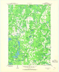
1940 · Athelstane
USGS Topo · 1:48,000
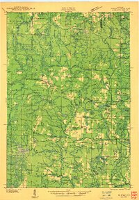
1941 · Dunbar
USGS Topo · 1:48,000
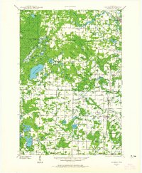
1941 · Coleman
USGS Topo · 1:48,000
1942 · Athelstane
USGS Topo · 1:48,000
1942 · Coleman
USGS Topo · 1:48,000
1942 · Porterfield
USGS Topo · 1:48,000