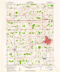
1960 Map of Wauseon
USGS Topo · Published 1961About this map
The city of Wauseon serves as a central hub for Fulton County's agricultural and transportation landscape during the early 1960s. The town's grid is dense with landmarks like the County Fairground, Reighard Park, and the Hospital. To the north, the Ohio Turnpike cuts across the farmland, featuring Interchange No 3, marking the era’s significant highway expansion. The rural sections are dotted with family-named burial grounds such as Smith Cem and Mikesell Cem, providing critical data points for genealogical research.
Find a feature on this map
42 named features on this map. Tap any name to fly to it.
Don’t see what you’re looking for? This feature index may not catch every label — zoom into the map to look around manually.
Map Details
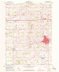
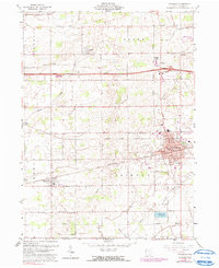
Editions of this 1960 Wauseon Map
3 editions found
Other maps of this area

1907 · Defiance
USGS Topo · 1:62,500

1908 · Napoleon
USGS Topo · 1:62,500

1909 · Defiance
USGS Topo · 1:62,500

1911 · Wauseon
USGS Topo · 1:62,500

1913 · Wauseon
USGS Topo · 1:62,500

1913 · Alvordton
USGS Topo · 1:62,500

1943 · Wauseon
USGS Topo · 1:62,500

1944 · Alvordton
USGS Topo · 1:62,500

1953 · Fort Wayne
USGS Topo · 1:250,000

1956 · Fort Wayne
USGS Topo · 1:250,000