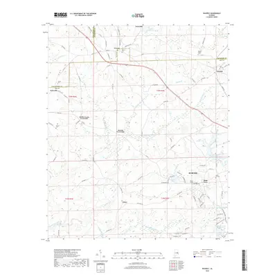
2018 Map of Waverly
USGS Topo · Published 2018About this map
Waverly and Gold Hill anchor this corner of East Alabama, where the borders of Lee, Chambers, and Tallapoosa counties converge. The landscape is defined by the winding course of Loblockee Creek and Sougahatchee Creek, which drain a terrain of numerous named family burial grounds and small water impoundments such as Stephens Mill-Pond and Clements Pond. Local genealogists will find significant detail in the distribution of family-named landmarks, from the Maddox Family Cem to the Daniel-Caldwell Cem near Auburn. The map also captures several distinct intersections like Middle Brooks Crossroads and Rowells Crossroads, providing a clear view of the rural road network connecting these historic communities. The presence of Jones Mill and various water bodies like Pond Number S-1 suggests a landscape shaped by both early industry and managed water resources.
Find a feature on this map
97 named features on this map. Tap any name to fly to it.
Don’t see what you’re looking for? This feature index may not catch every label — zoom into the map to look around manually.
Map Details
Editions of this 2018 Waverly Map
This is the sole edition of this map. No revisions or reprints were ever made.
Other maps of this area

1906 · Dadeville
USGS Topo · 1:125,000

1907 · Opelika
USGS Topo · 1:125,000

1909 · Opelika
USGS Topo · 1:125,000

1955 · Phenix City
USGS Topo · 1:250,000

1957 · Phenix City
USGS Topo · 1:250,000

1958 · Phenix City
USGS Topo · 1:250,000

1971 · Waverly
USGS Topo · 1:24,000
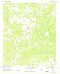
1971 · Moorefield
USGS Topo · 1:24,000
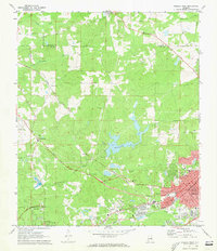
1971 · Opelika West
USGS Topo · 1:24,000

1971 · Loachapoka
USGS Topo · 1:24,000