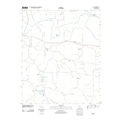
2011 Map of Wax
USGS Topo · Published 2011About this map
The Etowah River meanders across this northern Georgia landscape, defining the topography near Etowah and Reynolds Bend. This area of Floyd County remains characterized by its network of family cemeteries and rural communities, such as Wax and Chulio. The mapping shows a landscape of rolling hills punctuated by Yellow Jacket Mountain and Mullinax Mountain, where small-scale water management is evident in features like Padgetts Lake Dam and Wax Lake Dam. For genealogists, the presence of numerous burial grounds including the Adams-Snowden Family Cemetery and the Alford-Watson Cemetery provides valuable primary source data for local family lineages. The road network, featuring names like Shoals Ferry Rd and Ayers Ferry Rd SE, hints at historical river crossings such as Davis Ford and Eves Ford that once linked these communities before modern infrastructure predominated.
Find a feature on this map
86 named features on this map. Tap any name to fly to it.
Don’t see what you’re looking for? This feature index may not catch every label — zoom into the map to look around manually.
Map Details
Editions of this 2011 Wax Map
This is the sole edition of this map. No revisions or reprints were ever made.
Other maps of this area

1886 · Rome
USGS Topo · 1:125,000

1890 · Cartersville
USGS Topo · 1:125,000

1891 · Cartersville
USGS Topo · 1:125,000

1896 · Cartersville
USGS Topo · 1:125,000

1898 · Rome
USGS Topo · 1:125,000

1899 · Rome
USGS Topo · 1:125,000

1904 · Rome
USGS Topo · 1:125,000

1906 · Stilesboro
USGS Topo · 1:62,500

1908 · Stilesboro
USGS Topo · 1:62,500

1941 · Adairsville
USGS Topo · 1:62,500