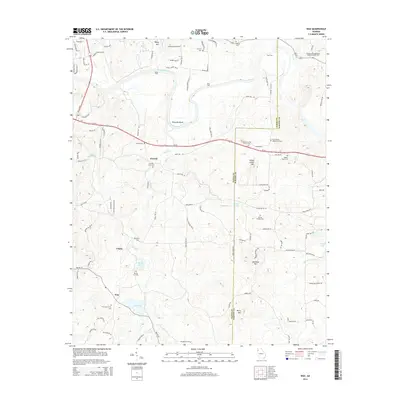
2014 Map of Wax
USGS Topo · Published 2014About this map
The Etowah River carves a dramatic path through the landscape of southeast Floyd County, defining the settlement patterns of Etowah and Chulio. This survey highlights the deep-rooted community history of the region through numerous burial grounds and family landmarks, including the Adams-Snowden Family Cem and the Alford-Watson Cem. The geography is anchored by prominent summits like Yellow Jacket Mtn and Mullinax Mtn, while the river's influence is seen at historic crossing points such as Davis Ford, Bass Ford, and Eves Ford. Further south, the map details the rural character of Wax, where Wax Spring and Wax Lake sit near the Wax Community Cem. Local religious heritage is evident at the Gore Spring AME Church Cem and the Pleasant Hill-Missionary Baptist Church Cem, illustrating the cultural fabric of these Georgia foothills.
Find a feature on this map
104 named features on this map. Tap any name to fly to it.
Don’t see what you’re looking for? This feature index may not catch every label — zoom into the map to look around manually.
Map Details
Editions of this 2014 Wax Map
This is the sole edition of this map. No revisions or reprints were ever made.
Other maps of this area

1886 · Rome
USGS Topo · 1:125,000

1890 · Cartersville
USGS Topo · 1:125,000

1891 · Cartersville
USGS Topo · 1:125,000

1896 · Cartersville
USGS Topo · 1:125,000

1898 · Rome
USGS Topo · 1:125,000

1899 · Rome
USGS Topo · 1:125,000

1904 · Rome
USGS Topo · 1:125,000

1906 · Stilesboro
USGS Topo · 1:62,500

1908 · Stilesboro
USGS Topo · 1:62,500

1941 · Adairsville
USGS Topo · 1:62,500