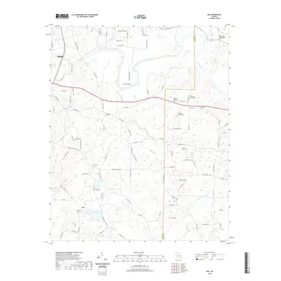
2020 Map of Wax
USGS Topo · Published 2020About this map
The Etowah River snakes through the northern landscape of this region, defining the sharp curve at Reynolds Bend and the surrounding bottomlands. The settlement of Wax serves as a southern anchor, centered near Wax Lake and Wax Spring. This area is notably dense with small family and community burial grounds, which offer significant genealogical value. These sites, such as the Adams-Snowden Family Cem and the Alford-Watson Cem, are scattered across the terrain between prominent high points like Yellow Jacket Mtn and Mullinax Mtn. Further north, toward the edge of Rome, the landscape transitions into a network of country roads including Chulio RD Se and Bass Ferry RD, reflecting the historical transport patterns connecting rural Floyd and Bartow counties.
Find a feature on this map
98 named features on this map. Tap any name to fly to it.
Don’t see what you’re looking for? This feature index may not catch every label — zoom into the map to look around manually.
Map Details
Editions of this 2020 Wax Map
This is the sole edition of this map. No revisions or reprints were ever made.
Other maps of this area

1886 · Rome
USGS Topo · 1:125,000

1890 · Cartersville
USGS Topo · 1:125,000

1891 · Cartersville
USGS Topo · 1:125,000

1896 · Cartersville
USGS Topo · 1:125,000

1898 · Rome
USGS Topo · 1:125,000

1899 · Rome
USGS Topo · 1:125,000

1904 · Rome
USGS Topo · 1:125,000

1906 · Stilesboro
USGS Topo · 1:62,500

1908 · Stilesboro
USGS Topo · 1:62,500

1941 · Adairsville
USGS Topo · 1:62,500