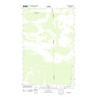
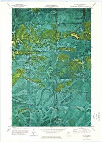
2013 Map of Wayland SW
USGS Topo · Published 2013About this map
Lake of the Woods and Beltrami county lines meet in this remote northern Minnesota landscape, where the terrain is defined by its vastness and lack of formal settlement. This 2013 survey reflects a quiet wilderness dominated by natural hydrology and minimal human infrastructure. The road network is limited to a few specific corridors, including Forest Rd 96 and Pine Island Rd in the southeastern corner, serving as vital access points into the wooded interior. The intersection of the Beltrami and Koochiching county boundaries further emphasizes the map's role in documenting administrative divisions within these sparsely populated forest lands.
Find a feature on this map
5 named features on this map. Tap any name to fly to it.
Don’t see what you’re looking for? This feature index may not catch every label — zoom into the map to look around manually.
Map Details
Editions of this 2013 Wayland SW Map
This is the sole edition of this map. No revisions or reprints were ever made.
Other maps of this area

1919 · Fox
USGS Topo · 1:62,500

1919 · Norden
USGS Topo · 1:62,500

1919 · Knutson
USGS Topo · 1:62,500

1954 · Roseau
USGS Topo · 1:250,000

1957 · Roseau
USGS Topo · 1:250,000

1958 · Roseau
USGS Topo · 1:250,000
1973 · Ludlow Lookout Tower
USGS Topo · 1:24,000
1973 · Norman Lake
USGS Topo · 1:24,000
1973 · Wayland SW
USGS Topo · 1:24,000
1973 · The Pines
USGS Topo · 1:24,000