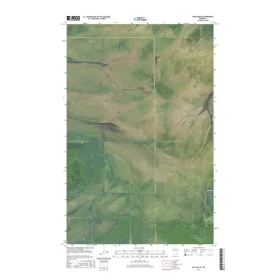
2016 Map of Wayland SW
USGS Topo · Published 2016About this map
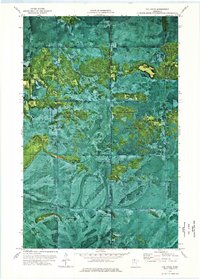
The northern wetlands of Minnesota are defined by vast, undeveloped stretches where county lines meet in the wilderness. This survey illustrates a remote corner where Lake of the Woods Co, Beltrami Co, and Koochiching Co converge. The landscape is characterized by a dense network of wetlands and nearly level terrain, with very little vertical relief.
Find a feature on this map
11 named features on this map. Tap any name to fly to it.
Don’t see what you’re looking for? This feature index may not catch every label — zoom into the map to look around manually.
Map Details
Editions of this 2016 Wayland SW Map
This is the sole edition of this map. No revisions or reprints were ever made.
Other maps of this area

1919 · Fox
USGS Topo · 1:62,500

1919 · Norden
USGS Topo · 1:62,500

1919 · Knutson
USGS Topo · 1:62,500

1954 · Roseau
USGS Topo · 1:250,000

1957 · Roseau
USGS Topo · 1:250,000

1958 · Roseau
USGS Topo · 1:250,000
1973 · Ludlow Lookout Tower
USGS Topo · 1:24,000
1973 · Norman Lake
USGS Topo · 1:24,000
1973 · Wayland SW
USGS Topo · 1:24,000
1973 · The Pines
USGS Topo · 1:24,000