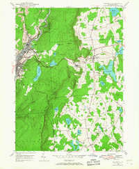
1946 Map of Waymart
USGS Topo · Published 1968About this map
The industrial and natural landscape of Wayne and Lackawanna counties emerges here, anchored by the densely settled mining and manufacturing hub of Carbondale and the adjacent community of Simpson. To the west, the Lackawanna River and Racket Brook wind through a valley dominated by the steep slopes of Carbondale Mountain, while the massive Brownell Reservoir and Panther Bluff Reservoir secure the regional water supply.
Find a feature on this map
41 named features on this map. Tap any name to fly to it.
Don’t see what you’re looking for? This feature index may not catch every label — zoom into the map to look around manually.
Map Details
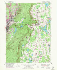
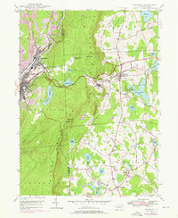
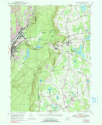
Editions of this 1946 Waymart Map
4 editions found
Other maps of this area

1889 · Scranton
USGS Topo · 1:62,500

1891 · Scranton
USGS Topo · 1:62,500

1892 · Honesdale
USGS Topo · 1:62,500

1892 · Dundaff
USGS Topo · 1:62,500

1893 · Scranton
USGS Topo · 1:62,500

1928 · Ariel
USGS Topo · 1:62,500

1932 · Ariel
USGS Topo · 1:62,500

1943 · Scranton
USGS Topo · 1:125,000

1943 · Honesdale
USGS Topo · 1:125,000

1946 · Olyphant
USGS Topo · 1:24,000