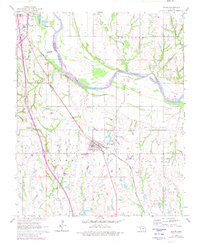
1965 Map of Wayne
USGS Topo · Published 1980About this map
The Canadian River forms a wide, meandering boundary between McClain and Cleveland Counties, defining the agricultural and industrial landscape of the mid-1960s. Central to the region is Wayne, a rail-oriented town situated along the Atchison Topeka and Santa Fe line, which also serves the larger hub of Purcell in the northwest. This era shows a transition in local development, where traditional land use near Denton Cem exists alongside modern additions like the Drive-in Theater and a local Trailer Park.
Find a feature on this map
18 named features on this map. Tap any name to fly to it.
Don’t see what you’re looking for? This feature index may not catch every label — zoom into the map to look around manually.
Map Details
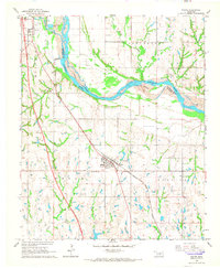
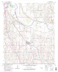
Editions of this 1965 Wayne Map
3 editions found
Other maps of this area

1893 · Norman
USGS Topo · 1:62,500

1898 · Purcell
USGS Topo · 1:125,000

1898 · Pauls Valley
USGS Topo · 1:125,000

1902 · Pauls Valley
USGS Topo · 1:125,000

1910 · McComb
USGS Topo · 1:62,500

1936 · Norman
USGS Topo · 1:62,500

1954 · Oklahoma City
USGS Topo · 1:250,000

1957 · Ardmore
USGS Topo · 1:250,000

1957 · Oklahoma City
USGS Topo · 1:250,000
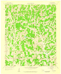
1958 · Eason
USGS Topo · 1:24,000