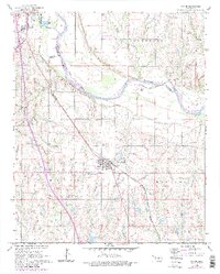
1965 Map of Wayne
USGS Topo · Published 1980About this map
The Canadian River carves a wide path across this Oklahoma landscape, defining the county boundary between Cleveland and McClain. To the north, the edge of Purcell shows mid-century development including a Drive-in Theater and Sewage Disposal Ponds along Walnut Creek, while the town of Wayne serves as a central hub further south. The Atchison Topeka and Santa Fe railroad cuts diagonally through the territory, a critical artery for the regional economy. Beyond the residential clusters, the land is marked by industrial activity at the West Corbett Oil Field and natural features like Rose Lake and Willow Creek. Surveyed in the 1960s with updates through 1980, this map documents the transition between traditional rail-side settlements and the expanding infrastructure of the late 20th century.
Find a feature on this map
21 named features on this map. Tap any name to fly to it.
Don’t see what you’re looking for? This feature index may not catch every label — zoom into the map to look around manually.
Map Details
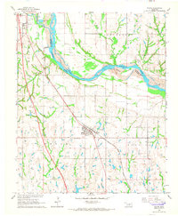
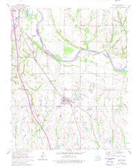
Editions of this 1965 Wayne Map
3 editions found
Other maps of this area

1893 · Norman
USGS Topo · 1:62,500

1898 · Purcell
USGS Topo · 1:125,000

1898 · Pauls Valley
USGS Topo · 1:125,000

1902 · Pauls Valley
USGS Topo · 1:125,000

1910 · McComb
USGS Topo · 1:62,500

1936 · Norman
USGS Topo · 1:62,500

1954 · Oklahoma City
USGS Topo · 1:250,000

1957 · Ardmore
USGS Topo · 1:250,000

1957 · Oklahoma City
USGS Topo · 1:250,000
1958 · Eason
USGS Topo · 1:24,000