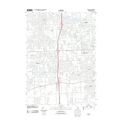
2011 Map of Wayne
USGS Topo · Published 2011About this map
Plymouth and Livonia anchor the northern landscape of this survey, where the suburban development of Wayne County is intricately tied to a network of natural and engineered waterways. The area is defined by the winding course of the Middle River Rouge and the Lower River Rouge, along with numerous drainage systems like Deer Drain and Morgan Drain that support the region's dense residential grid. Aviation history is represented by the Mettetal-Canton Airport, while local heritage is preserved in several burial grounds, including the historic Riverside Cemetery and Newburgh Cemetery. The map illustrates the transition from the structured township blocks of Canton to the established residential neighborhoods of Westland and the city of Wayne. Small communities like Sheldon and Norwayne are also detailed, showing the settlement patterns that emerged along major thoroughfares such as Michigan Ave and Ford Rd.
Find a feature on this map
56 named features on this map. Tap any name to fly to it.
Don’t see what you’re looking for? This feature index may not catch every label — zoom into the map to look around manually.
Map Details
Editions of this 2011 Wayne Map
This is the sole edition of this map. No revisions or reprints were ever made.
Other maps of this area

1902 · South Lyon
USGS Topo · 1:62,500

1902 · Ypsilanti
USGS Topo · 1:62,500

1904 · Ann Arbor
USGS Topo · 1:125,000

1905 · Wayne
USGS Topo · 1:62,500

1906 · Ypsilanti
USGS Topo · 1:62,500

1906 · South Lyon
USGS Topo · 1:62,500

1906 · Romulus
USGS Topo · 1:62,500

1908 · Ann Arbor
USGS Topo · 1:125,000

1912 · Wayne
USGS Topo · 1:62,500

1928 · Romulus
USGS Topo · 1:62,500
Featured Places
- Canton Charter Township, Canton Township
- Canton Township, MI
- Livonia, MI
- Westland, MI
- Van Buren Charter Township, MI