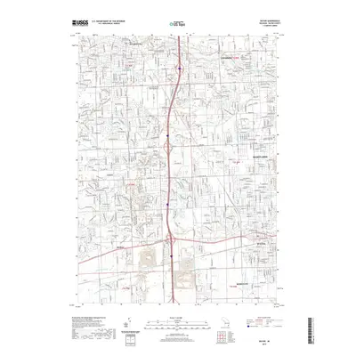
2019 Map of Wayne
USGS Topo · Published 2019About this map
Plymouth and Livonia dominate the northern landscape of this Wayne County survey, where suburban expansion meets a complex network of glacial drainage. The area's history is tied to the various branches of the Rouge River, including the Middle River Rouge and Lower River Rouge, which defined the early settlement patterns of Canton and Westland. Significant cultural landmarks include the Moody Theological Seminary Michigan and the Canton-Plymouth-Mettetal Airport, reflecting the mid-century institutional and transportation growth of the Detroit outskirts.
Find a feature on this map
46 named features on this map. Tap any name to fly to it.
Don’t see what you’re looking for? This feature index may not catch every label — zoom into the map to look around manually.
Map Details
Editions of this 2019 Wayne Map
This is the sole edition of this map. No revisions or reprints were ever made.
Other maps of this area

1902 · South Lyon
USGS Topo · 1:62,500

1902 · Ypsilanti
USGS Topo · 1:62,500

1904 · Ann Arbor
USGS Topo · 1:125,000

1905 · Wayne
USGS Topo · 1:62,500

1906 · Ypsilanti
USGS Topo · 1:62,500

1906 · South Lyon
USGS Topo · 1:62,500

1906 · Romulus
USGS Topo · 1:62,500

1908 · Ann Arbor
USGS Topo · 1:125,000

1912 · Wayne
USGS Topo · 1:62,500

1928 · Romulus
USGS Topo · 1:62,500
Featured Places
- Canton Charter Township, Canton Township
- Canton Township, MI
- Livonia, MI
- Westland, MI
- Van Buren Charter Township, MI