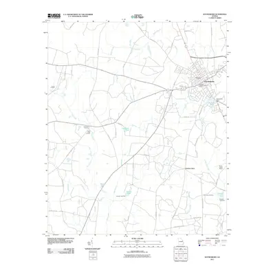
2011 Map of Waynesboro
USGS Topo · Published 2011About this map
Waynesboro serves as the central hub of this Georgia landscape, shown here at a moment of modern development alongside deeply rooted historical markers. The town's grid is punctuated by civic landmarks like the Waynesboro Post Office and the Waynesboro Confederate Memorial Cemetery. Beyond the municipal center, the land is defined by a network of creeks and small impoundments, including Waynesboro Pond and Thompsons Pond, reflecting a landscape managed for both drainage and recreation.
Find a feature on this map
55 named features on this map. Tap any name to fly to it.
Don’t see what you’re looking for? This feature index may not catch every label — zoom into the map to look around manually.
Map Details
Editions of this 2011 Waynesboro Map
This is the sole edition of this map. No revisions or reprints were ever made.
Other maps of this area

1919 · Gough
USGS Topo · 1:62,500

1920 · Millen
USGS Topo · 1:62,500

1920 · Greens Cut
USGS Topo · 1:62,500

1943 · Greens Cut
USGS Topo · 1:62,500

1943 · Millen
USGS Topo · 1:62,500

1943 · Augusta East
USGS Topo · 1:125,000

1943 · Millen
USGS Topo · 1:125,000

1947 · Savannah
USGS Topo · 1:250,000

1948 · Savannah
USGS Topo · 1:250,000

1948 · Gough
USGS Topo · 1:62,500