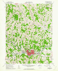
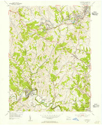
1961 Map of Waynesburg
USGS Topo · Published 1963About this map
Waynesburg serves as the focal point of this Greene County survey, shown during a period of mid-century civic and institutional expansion. The campus of Waynesburg College is prominently detailed at the center of the town grid, surrounded by essential community landmarks like the Courthouse, the Greene County Memorial Hospital, and the Greene County Fairgrounds. The map reveals a landscape defined by its deep valley drainage systems, such as Ten Mile Creek and the South Fork Monongahela, where industry and recreation meet at sites like the local Brickkilns and Emerald Ball Park.
Find a feature on this map
80 named features on this map. Tap any name to fly to it.
Don’t see what you’re looking for? This feature index may not catch every label — zoom into the map to look around manually.
Map Details
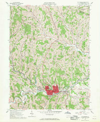
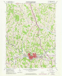
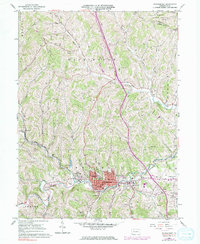
Editions of this 1961 Waynesburg Map
4 editions found
Other maps of this area

1901 · Amity
USGS Topo · 1:62,500

1901 · Waynesburg
USGS Topo · 1:62,500

1904 · Amity
USGS Topo · 1:62,500

1904 · Waynesburg
USGS Topo · 1:62,500

1905 · Rogersville
USGS Topo · 1:62,500

1907 · Claysville
USGS Topo · 1:62,500

1949 · Clarksburg
USGS Topo · 1:250,000

1951 · Canton
USGS Topo · 1:250,000

1953 · Canton
USGS Topo · 1:250,000
1954 · Ellsworth
USGS Topo · 1:24,000