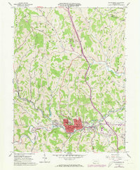
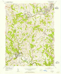
1961 Map of Waynesburg
USGS Topo · Published 1973About this map
Waynesburg serves as the focal point of this Greene County survey, anchored by the central campus of Waynesburg College and the surrounding borough infrastructure. The 1961 data, updated with 1973 photogrammetric revisions, reveals a landscape defined by the winding course of the South Fork Tenmile Creek and a dense network of smaller runs like Jersey Run and Ruff Creek. This era of the region’s development is visible in the mix of traditional local sites, such as the Covered Bridge on Ruff Creek, and mid-century expansions including the Greene County Airport and a Drive-in Theater near East View.
Find a feature on this map
73 named features on this map. Tap any name to fly to it.
Don’t see what you’re looking for? This feature index may not catch every label — zoom into the map to look around manually.
Map Details
Editions of this 1961 Waynesburg Map
4 editions found
Other maps of this area

1901 · Amity
USGS Topo · 1:62,500

1901 · Waynesburg
USGS Topo · 1:62,500

1904 · Amity
USGS Topo · 1:62,500

1904 · Waynesburg
USGS Topo · 1:62,500

1905 · Rogersville
USGS Topo · 1:62,500

1907 · Claysville
USGS Topo · 1:62,500

1949 · Clarksburg
USGS Topo · 1:250,000

1951 · Canton
USGS Topo · 1:250,000

1953 · Canton
USGS Topo · 1:250,000
1954 · Ellsworth
USGS Topo · 1:24,000