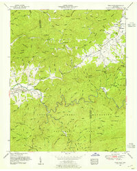
1953 Map of Wear Cove
USGS Topo · Published 1954About this map
Tuckaleechee and the neighboring settlement of Townsend serve as the western gateway to the high ridges of the Smokies in this mid-century survey. The landscape is defined by the steep transition from the valley floor up to the heights of Bates Mountain and Meigs Mountain. The mapping reveals a community deeply rooted in the land, with numerous family-named landmarks and cemeteries such as Brickey Cemetery, Myers Cemetery, and Hatcher Cemetery scattered throughout the coves.
Find a feature on this map
161 named features on this map. Tap any name to fly to it.
Don’t see what you’re looking for? This feature index may not catch every label — zoom into the map to look around manually.
Map Details
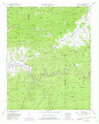
Editions of this 1953 Wear Cove Map
2 editions found
Other maps of this area

1886 · Knoxville
USGS Topo · 1:125,000

1892 · Knoxville
USGS Topo · 1:125,000

1894 · Knoxville
USGS Topo · 1:125,000

1895 · Knoxville
USGS Topo · 1:125,000

1901 · Knoxville
USGS Topo · 1:125,000

1935 · Knoxville
USGS Topo · 1:48,000

1935 · Walden Creek
USGS Topo · 1:24,000

1935 · Wildwood
USGS Topo · 1:24,000

1935 · Sevierville
USGS Topo · 1:48,000
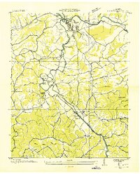
1935 · Pigeon Forge
USGS Topo · 1:24,000