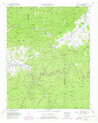
1953 Map of Wear Cove
USGS Topo · Published 1976About this map
Little River winds through the heart of this landscape, carving through the Great Smoky Mountains National Park and creating distinctive landmarks like the Sinks. This mid-century survey captures a period of transition as the Foothills Parkway is noted as under construction, bridging the gap between the rural valley life and the expanding park system. Local history is deeply etched into the terrain, from the Park Settlement and Hatchertown to the numerous small family burial grounds like Brickey Cemetery and Mattox Cemetery that dot the ridges.
Find a feature on this map
147 named features on this map. Tap any name to fly to it.
Don’t see what you’re looking for? This feature index may not catch every label — zoom into the map to look around manually.
Map Details
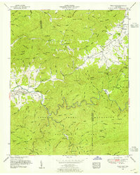
Editions of this 1953 Wear Cove Map
2 editions found
Other maps of this area

1886 · Knoxville
USGS Topo · 1:125,000

1892 · Knoxville
USGS Topo · 1:125,000

1894 · Knoxville
USGS Topo · 1:125,000

1895 · Knoxville
USGS Topo · 1:125,000

1901 · Knoxville
USGS Topo · 1:125,000

1935 · Knoxville
USGS Topo · 1:48,000

1935 · Walden Creek
USGS Topo · 1:24,000

1935 · Wildwood
USGS Topo · 1:24,000

1935 · Sevierville
USGS Topo · 1:48,000
1935 · Pigeon Forge
USGS Topo · 1:24,000