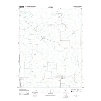
2011 Map of Weaubleau
USGS Topo · Published 2011About this map
Weaubleau Creek and its many tributaries, including Clear Creek and Rock Creek, dominate the landscape of Hickory County in this 2011 survey. The town of Weaubleau serves as a primary hub in the south, while the smaller settlements of Gerster, Kings Prairie, and Terry are scattered across the northern reaches. For local history and genealogy, the map identifies several significant sites such as the Weaubleau Congregational Christian Cemetery, King's Prairie Cemetery, and the Terry Post Office. The terrain features distinct elevations like Boswell Bluff and the low-lying areas of Possum Hollow and Big Hollow. Notable infrastructure includes the Peterman Airport near Collins and an extensive network of county roads that connect these rural communities and family homesteads across the southwest Missouri countryside.
Find a feature on this map
71 named features on this map. Tap any name to fly to it.
Don’t see what you’re looking for? This feature index may not catch every label — zoom into the map to look around manually.
Map Details
Editions of this 2011 Weaubleau Map
This is the sole edition of this map. No revisions or reprints were ever made.
Other maps of this area

1884 · Bolivar
USGS Topo · 1:125,000

1886 · Stockton
USGS Topo · 1:125,000

1887 · Clinton
USGS Topo · 1:125,000

1887 · Warsaw
USGS Topo · 1:125,000

1892 · Bolivar
USGS Topo · 1:125,000

1894 · Warsaw
USGS Topo · 1:125,000

1894 · Clinton
USGS Topo · 1:125,000

1938 · Vista
USGS Topo · 1:24,000

1939 · Osceola
USGS Topo · 1:24,000

1939 · Arnica
USGS Topo · 1:24,000