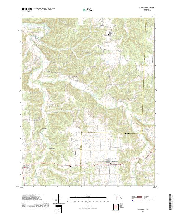
2021 Map of Weaubleau
USGS Topo · Published 2021About this map
The boundary between St Clair and Hickory counties defines this western Missouri landscape, where the settlements of Weaubleau, Collins, and Gerster serve as local anchors. The terrain is deeply etched by a network of drainage systems, including Weaubleau Cr, Clear Cr, and Bear Cr, which create the prominent relief of Boswell Bluff and the low-lying reaches of Possum Hollow.
Find a feature on this map
78 named features on this map. Tap any name to fly to it.
Don’t see what you’re looking for? This feature index may not catch every label — zoom into the map to look around manually.
Map Details
Editions of this 2021 Weaubleau Map
This is the sole edition of this map. No revisions or reprints were ever made.
Other maps of this area

1884 · Bolivar
USGS Topo · 1:125,000

1886 · Stockton
USGS Topo · 1:125,000

1887 · Clinton
USGS Topo · 1:125,000

1887 · Warsaw
USGS Topo · 1:125,000

1892 · Bolivar
USGS Topo · 1:125,000

1894 · Warsaw
USGS Topo · 1:125,000

1894 · Clinton
USGS Topo · 1:125,000

1938 · Vista
USGS Topo · 1:24,000

1939 · Osceola
USGS Topo · 1:24,000

1939 · Arnica
USGS Topo · 1:24,000