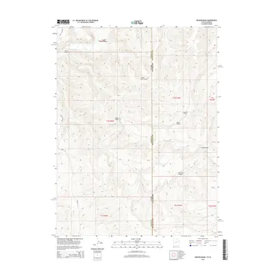
2014 Map of Weaver Ridge
USGS Topo · Published 2014About this map
White River flows through the northern reaches of this high-altitude landscape where the Utah and Colorado state line bisects the deep drainages of the Uinta Basin. The topography is defined by the prominent Weaver Ridge and a series of dramatic incisions including Cripple Horse Canyon and Hells Hole Canyon. Historically significant for its unique mineral deposits, the region is marked by the Gilsonite Hills and Gilsonite Draw, named for the hydro-carbon ore discovered here in the late 19th century. Local access is maintained through remote routes such as Dragon Rd and Sheep Access Rd, while Byrons Overlook provides a vantage point over the rugged canyon systems that cross into Rio Blanco County.
Find a feature on this map
20 named features on this map. Tap any name to fly to it.
Don’t see what you’re looking for? This feature index may not catch every label — zoom into the map to look around manually.
Map Details
Editions of this 2014 Weaver Ridge Map
This is the sole edition of this map. No revisions or reprints were ever made.
Other maps of this area

1885 · East Tavaputs
USGS Topo · 1:250,000

1885 · Ashley
USGS Topo · 1:250,000

1907 · Rangely
USGS Topo · 1:125,000

1907 · Jensen
USGS Topo · 1:125,000

1910 · Jensen
USGS Topo · 1:125,000

1910 · Rangely
USGS Topo · 1:125,000

1954 · Vernal
USGS Topo · 1:250,000

1956 · Grand Junction
USGS Topo · 1:250,000

1958 · Vernal
USGS Topo · 1:250,000

1959 · Grand Junction
USGS Topo · 1:250,000