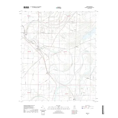
2018 Map of Webb
USGS Topo · Published 2018About this map
Sumner and Webb anchor this landscape of the Mississippi Delta, where the meandering course of the Tallahatchie River and its accompanying oxbows define the local geography. The area's alluvial character is evident in the numerous wetland features, such as Buzzard Bayou Lake, Snow Brake, and the southern Swan Lake. This 2018 survey reveals a network of rural settlements, including Albin, Mikoma, and Sharkey, connected by roads like Sumner-Brazil Rd and Swan Lake Rd.
Find a feature on this map
69 named features on this map. Tap any name to fly to it.
Don’t see what you’re looking for? This feature index may not catch every label — zoom into the map to look around manually.
Map Details
Editions of this 2018 Webb Map
This is the sole edition of this map. No revisions or reprints were ever made.
Other maps of this area

1931 · Sumner
USGS Topo · 1:48,000

1932 · Philipp
USGS Topo · 1:48,000

1932 · Tutwiler
USGS Topo · 1:48,000

1935 · Crowder
USGS Topo · 1:62,500

1935 · Sumner
USGS Topo · 1:62,500

1935 · Tutwiler
USGS Topo · 1:62,500

1935 · Philipp
USGS Topo · 1:62,500

1939 · Sumner
USGS Topo · 1:62,500

1939 · Crowder
USGS Topo · 1:62,500

1939 · Philipp
USGS Topo · 1:62,500