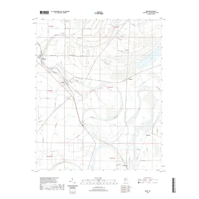
2020 Map of Webb
USGS Topo · Published 2020About this map
The Tallahatchie County Courthouse stands as a central landmark in this Mississippi Delta landscape, anchoring the town of Sumner near the northern boundary. The geography is defined by a dense network of slow-moving waterways and brakes, including Snow Brake and Sandy Bayou, which reflect the region's alluvial history and agricultural character. To the south, the settlement of Webb is situated along the railway corridor, while smaller communities like Albin and Mikoma are scattered through the surrounding fields.
Find a feature on this map
68 named features on this map. Tap any name to fly to it.
Don’t see what you’re looking for? This feature index may not catch every label — zoom into the map to look around manually.
Map Details
Editions of this 2020 Webb Map
This is the sole edition of this map. No revisions or reprints were ever made.
Other maps of this area

1931 · Sumner
USGS Topo · 1:48,000

1932 · Philipp
USGS Topo · 1:48,000

1932 · Tutwiler
USGS Topo · 1:48,000

1935 · Crowder
USGS Topo · 1:62,500

1935 · Sumner
USGS Topo · 1:62,500

1935 · Tutwiler
USGS Topo · 1:62,500

1935 · Philipp
USGS Topo · 1:62,500

1939 · Sumner
USGS Topo · 1:62,500

1939 · Crowder
USGS Topo · 1:62,500

1939 · Philipp
USGS Topo · 1:62,500