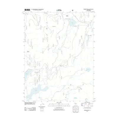
2012 Map of Webber Peak
USGS Topo · Published 2012About this map
Webber Lake and the headwaters of the Little Truckee River dominate this high-elevation landscape in the Sierra Nevada, where water management and recreation define the terrain. The presence of the Webber Lake Campground and several large reservoirs including Fordyce Lake and Meadow Lake highlights the importance of the region's watersheds. The map reveals a complex network of forest roads like Pass Creek Loop Rd and Meadow Lake Rd, which provide access to numerous alpine valleys such as Bear Valley and Lacey Valley.
Find a feature on this map
30 named features on this map. Tap any name to fly to it.
Don’t see what you’re looking for? This feature index may not catch every label — zoom into the map to look around manually.
Map Details
Editions of this 2012 Webber Peak Map
This is the sole edition of this map. No revisions or reprints were ever made.
Other maps of this area

1890 · Sierraville
USGS Topo · 1:125,000

1891 · Downieville
USGS Topo · 1:125,000

1891 · Colfax
USGS Topo · 1:125,000

1891 · Truckee
USGS Topo · 1:125,000

1892 · Sierraville
USGS Topo · 1:125,000

1892 · Colfax
USGS Topo · 1:125,000

1893 · Truckee
USGS Topo · 1:125,000

1893 · Downieville
USGS Topo · 1:125,000

1894 · Colfax
USGS Topo · 1:125,000

1894 · Sierraville
USGS Topo · 1:125,000