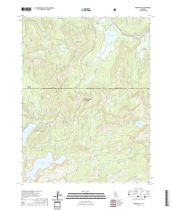
2021 Map of Webber Peak
USGS Topo · Published 2021About this map
Henness Pass serves as a central geographic and historical axis in this high-elevation region of the Tahoe National Forest. The map documents a complex network of transportation routes, including the historic Henness Pass Rd and the Old Henness Pass Trl, which follow the divide between the Middle Yuba River and the Little Truckee River watersheds. Significant alpine water bodies like Webber Lake and the larger Fordyce Lake are prominent, while smaller features such as Sand Ridge Lake and Buzzard Roost Lake dot the higher ridges. The landscape is characterized by its broad mountain meadows, such as French Meadow, Coppins Meadow, and Perazzo Meadows, which likely supported early seasonal grazing. Modern recreational corridors are well-established here, most notably the Pacific Crest National Scenic Trail as it winds north past Webber Peak and through the granite terrain above Bear Valley.
Find a feature on this map
52 named features on this map. Tap any name to fly to it.
Don’t see what you’re looking for? This feature index may not catch every label — zoom into the map to look around manually.
Map Details
Editions of this 2021 Webber Peak Map
This is the sole edition of this map. No revisions or reprints were ever made.
Other maps of this area

1890 · Sierraville
USGS Topo · 1:125,000

1891 · Downieville
USGS Topo · 1:125,000

1891 · Colfax
USGS Topo · 1:125,000

1891 · Truckee
USGS Topo · 1:125,000

1892 · Sierraville
USGS Topo · 1:125,000

1892 · Colfax
USGS Topo · 1:125,000

1893 · Truckee
USGS Topo · 1:125,000

1893 · Downieville
USGS Topo · 1:125,000

1894 · Colfax
USGS Topo · 1:125,000

1894 · Sierraville
USGS Topo · 1:125,000