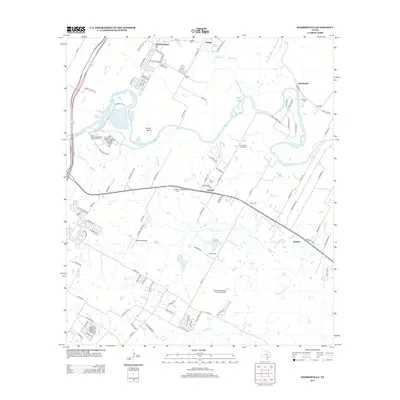
2013 Map of Webberville
USGS Topo · Published 2013About this map
The Colorado River winds through the heart of this East Travis County landscape, anchoring a series of river-bend communities and historical burial grounds. The river's serpentine path defines the geography of Hornsby Bend, Hunter Bend, and the community of Webberville, where the Woods Cem sits near the northern banks. The influence of regional utilities and infrastructure is evident in the western portion of the map, featuring the City of Austin DBA Austin Energy Facility and the Del Valle Airport.
Find a feature on this map
107 named features on this map. Tap any name to fly to it.
Don’t see what you’re looking for? This feature index may not catch every label — zoom into the map to look around manually.
Map Details
Editions of this 2013 Webberville Map
This is the sole edition of this map. No revisions or reprints were ever made.
Other maps of this area
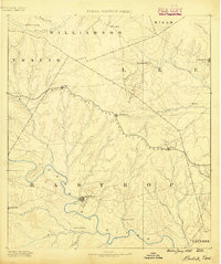
1885 · Bastrop
USGS Topo · 1:125,000
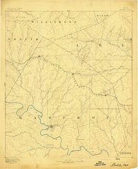
1893 · Bastrop
USGS Topo · 1:125,000

1896 · Austin
USGS Topo · 1:125,000

1897 · Austin
USGS Topo · 1:125,000
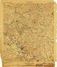
1904 · Bastrop
USGS Topo · 1:125,000

1910 · Austin
USGS Topo · 1:125,000
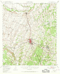
1948 · Elgin
USGS Topo · 1:62,500
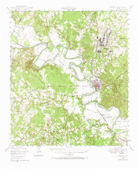
1948 · Bastrop
USGS Topo · 1:62,500
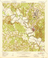
1950 · Bastrop
USGS Topo · 1:62,500
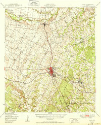
1950 · Elgin
USGS Topo · 1:62,500