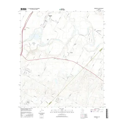
2016 Map of Webberville
USGS Topo · Published 2016About this map
The Colorado River defines the landscape as it winds through the eastern edge of Travis County, carving out prominent geographic features like Hornsby Bend and Hunter Bend. This 2016 survey captures a transition from rural agricultural plots to residential expansion, centered around the historic communities of Webberville and Garfield. Local history and genealogy are anchored by several family and community burial grounds, including the Comanche Cemeteries, Woods Cem, and Haynie Cem, which appear alongside tributaries such as Gilleland Creek and Onion Creek. The presence of the Del Valle Airport and major corridors like Webberville Rd illustrate the area's ongoing development while smaller water bodies like Clarence Washington Farm Lake hint at the region's agricultural roots.
Find a feature on this map
102 named features on this map. Tap any name to fly to it.
Don’t see what you’re looking for? This feature index may not catch every label — zoom into the map to look around manually.
Map Details
Editions of this 2016 Webberville Map
This is the sole edition of this map. No revisions or reprints were ever made.
Other maps of this area

1885 · Bastrop
USGS Topo · 1:125,000

1893 · Bastrop
USGS Topo · 1:125,000

1896 · Austin
USGS Topo · 1:125,000

1897 · Austin
USGS Topo · 1:125,000

1904 · Bastrop
USGS Topo · 1:125,000

1910 · Austin
USGS Topo · 1:125,000

1948 · Elgin
USGS Topo · 1:62,500

1948 · Bastrop
USGS Topo · 1:62,500

1950 · Bastrop
USGS Topo · 1:62,500

1950 · Elgin
USGS Topo · 1:62,500