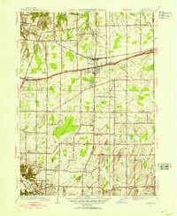
1952 Map of Webster
USGS Topo · Published 1964About this map
Webster and the surrounding townships of Webster and Penfield are shown in this 1952 revision, reflecting a period of post-war suburban transition in Monroe County. The landscape is defined by a rigorous grid of historic roads such as Ridge Road and Plank Road, which connected early agricultural hamlets. Significant natural features like the Thousand Acre Swamp and Irondequoit Creek break the rectilinear pattern of development, providing a window into the original drainage and topography of the Lake Ontario coastal plain.
Find a feature on this map
41 named features on this map. Tap any name to fly to it.
Don’t see what you’re looking for? This feature index may not catch every label — zoom into the map to look around manually.
Map Details
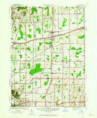
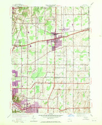
Editions of this 1952 Webster Map
3 editions found
Other maps of this area

1895 · Rochester
USGS Topo · 1:62,500

1895 · Ontario Beach
USGS Topo · 1:62,500

1898 · Rochester
USGS Topo · 1:62,500

1899 · Ontario Beach
USGS Topo · 1:62,500

1900 · Macedon
USGS Topo · 1:62,500

1912 · Rochester
USGS Topo · 1:62,500

1912 · Ontario Beach
USGS Topo · 1:62,500

1920 · Rochester
USGS Topo · 1:62,500

1931 · Mendon Ponds
USGS Topo · 1:24,000

1931 · Rochester East
USGS Topo · 1:24,000