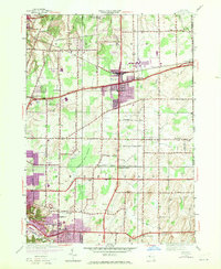
1952 Map of Webster
USGS Topo · Published 1970About this map
The town of Webster serves as a central hub in this Monroe County landscape, showing the transition from agricultural roots to mid-century suburban expansion. The 1969 photorevisions, marked in purple, highlight the growth around the village core and near West Webster. The Penn Central railroad cuts across the northern portion of the map, supporting local industry and the community of Union Hill on the eastern border.
Find a feature on this map
40 named features on this map. Tap any name to fly to it.
Don’t see what you’re looking for? This feature index may not catch every label — zoom into the map to look around manually.
Map Details
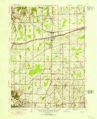
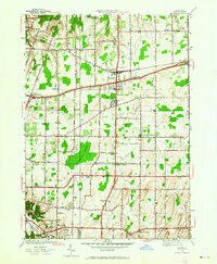
Editions of this 1952 Webster Map
3 editions found
Other maps of this area

1895 · Rochester
USGS Topo · 1:62,500

1895 · Ontario Beach
USGS Topo · 1:62,500

1898 · Rochester
USGS Topo · 1:62,500

1899 · Ontario Beach
USGS Topo · 1:62,500

1900 · Macedon
USGS Topo · 1:62,500

1912 · Rochester
USGS Topo · 1:62,500

1912 · Ontario Beach
USGS Topo · 1:62,500

1920 · Rochester
USGS Topo · 1:62,500

1931 · Mendon Ponds
USGS Topo · 1:24,000

1931 · Rochester East
USGS Topo · 1:24,000