
1954 Map of Weed
USGS Topo · Published 1956About this map
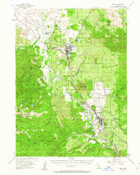
Mt Shasta and the timber town of Weed dominate this mid-century landscape where the Southern Pacific railroad and U.S. 99 serve as the primary conduits for commerce and transit. The map documents the region's industrial and natural infrastructure during the 1950s, from the Log Pond and Sewage Disposal facilities in Weed to the Fish Hatchery and Radio Tower KWSD near the mountain's base.
Find a feature on this map
65 named features on this map. Tap any name to fly to it.
Don’t see what you’re looking for? This feature index may not catch every label — zoom into the map to look around manually.
Map Details
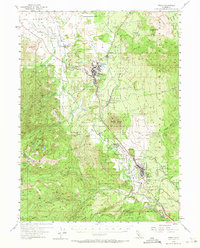
Editions of this 1954 Weed Map
3 editions found
Other maps of this area

1886 · Shasta
USGS Topo · 1:250,000

1894 · Shasta
USGS Topo · 1:250,000

1921 · Shasta Valley Sheet No 7
USGS Topo · 1:24,000

1921 · Shasta Valley Sheet No 1
USGS Topo · 1:24,000

1922 · Shasta Valley Sheet No 10
USGS Topo · 1:24,000

1922 · Shasta Valley Sheet No 1 S
USGS Topo · 1:24,000

1922 · Shasta Valley Sheet No 9
USGS Topo · 1:24,000
1922 · Shasta Valley Sheet No 8
USGS Topo · 1:24,000

1923 · Sawyers Bar
USGS Topo · 1:125,000

1931 · Etna
USGS Topo · 1:96,000