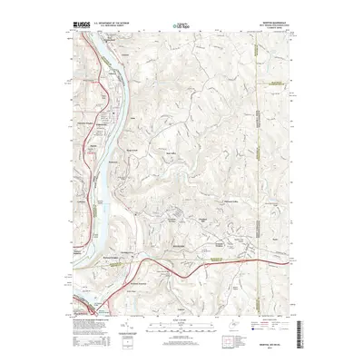
2014 Map of Weirton
USGS Topo · Published 2014About this map
The Ohio River carves a deep industrial and geographical path through this 2014 survey, serving as the border between West Virginia and Ohio while neighboring Pennsylvania sits just to the east. The city of Weirton dominates the landscape, showing a complex network of neighborhoods including Weirton Heights, Marland Heights, and the legacy rail hub at Weirton Junction. Industrial and residential development is concentrated along the riverbanks and through the valley of Harmon Creek, where the Robert Byrd Bridge and Veterans Memorial Bridge facilitate interstate transit.
Find a feature on this map
208 named features on this map. Tap any name to fly to it.
Don’t see what you’re looking for? This feature index may not catch every label — zoom into the map to look around manually.
Map Details
Editions of this 2014 Weirton Map
This is the sole edition of this map. No revisions or reprints were ever made.
Other maps of this area

1901 · Beaver
USGS Topo · 1:62,500

1904 · Wellsville
USGS Topo · 1:62,500

1904 · Steubenville
USGS Topo · 1:62,500

1904 · Beaver
USGS Topo · 1:62,500

1904 · Burgettstown
USGS Topo · 1:62,500

1906 · Burgettstown
USGS Topo · 1:62,500

1935 · Steubenville
USGS Topo · 1:62,500

1937 · Wellsville
USGS Topo · 1:62,500

1942 · Steubenville
USGS Topo · 1:62,500

1944 · Wellsville
USGS Topo · 1:62,500