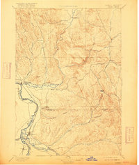
1897 Map of Weiser
USGS Topo · Published 1916About this map
The Snake River serves as the prominent boundary between Idaho and Oregon on this reconnaissance-era sheet, anchoring a network of vital waterways and early rail-oriented settlements. At the confluence of the Weiser River sits Weiser, while the southern reaches document the growth of Payette and Ontario near the Payette River and Malheur River. This landscape is defined by its drainages, from the northern Middle Valley along Sage Creek to the remote eastern uplands feeding Crane Creek. A significant portion of the map is dedicated to the arid, dissected terrain of the Little Willow Creek and Willow Creek basins. These patterns of settlement follow the natural corridors of the river valleys and the Short Line Oregon, illustrating the transit and water-dependent infrastructure that shaped the region before the turn of the century.
Find a feature on this map
40 named features on this map. Tap any name to fly to it.
Don’t see what you’re looking for? This feature index may not catch every label — zoom into the map to look around manually.
Map Details
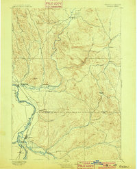
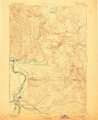
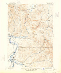
Editions of this 1897 Weiser Map
5 editions found
Other maps of this area

1892 · Boise
USGS Topo · 1:125,000

1894 · Squaw Creek
USGS Topo · 1:125,000

1897 · Boise
USGS Topo · 1:125,000

1897 · Weiser
USGS Topo · 1:125,000

1898 · Nampa
USGS Topo · 1:125,000

1906 · Mitchell Butte
USGS Topo · 1:125,000

1911 · Meadows
USGS Topo · 1:125,000

1915 · Pine
USGS Topo · 1:125,000

1951 · Moores Hollow
USGS Topo · 1:24,000

1951 · Malheur Butte
USGS Topo · 1:24,000