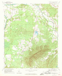
1967 Map of Weisner Mountain
USGS Topo · Published 1969About this map
Weisner Mountain dominates the southern landscape of this 1960s survey, anchoring a region of Alabama where the foothills of the Appalachians meet the Coosa River. The map reveals a deeply rooted rural community defined by its numerous small congregations and dispersed settlements. Many of these hubs are centered on historic places of worship, including Sardis Hill Ch, Antioch Ch, and Davis Chapel, which served as local gathering points for families in Pine Grove and Gnatville.
Find a feature on this map
28 named features on this map. Tap any name to fly to it.
Don’t see what you’re looking for? This feature index may not catch every label — zoom into the map to look around manually.
Map Details
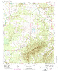
Editions of this 1967 Weisner Mountain Map
2 editions found
Other maps of this area

1893 · Fort Payne
USGS Topo · 1:125,000

1898 · Fort Payne
USGS Topo · 1:125,000

1900 · Fort Payne
USGS Topo · 1:125,000

1900 · Anniston
USGS Topo · 1:125,000

1947 · Colvin Gap
USGS Topo · 1:24,000

1947 · Jacksonville
USGS Topo · 1:62,500

1953 · Atlanta
USGS Topo · 1:250,000

1955 · Rome
USGS Topo · 1:250,000

1957 · Atlanta
USGS Topo · 1:250,000
1957 · Colvin Gap
USGS Topo · 1:24,000