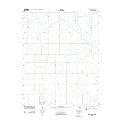
2012 Map of Welch North
USGS Topo · Published 2012About this map
Welch anchors the southwestern corner of this northeastern Oklahoma landscape, where the prairie transitions into the drainage systems feeding into the Grand Lake O' the Cherokees. The area is defined by a dense network of sectional roads and meandering watercourses, including Elm Cr and Russell Cr, which carve shallow paths through the agricultural terrain. Genealogists will find three distinct burial grounds marked: the Welch Cem near the town center, the northern Russell Creek Cem, and the secluded Williams Cem in the southeast. This 2012 survey illustrates the modern rural infrastructure of Craig County, showing how the original land allotments have been maintained through a grid of numbered roads like E 30 RD and S 4440 RD. Tributaries such as Little Cabin Cr and Mud Cr illustrate the watershed's complexity before it reaches the larger reservoir to the east.
Find a feature on this map
39 named features on this map. Tap any name to fly to it.
Don’t see what you’re looking for? This feature index may not catch every label — zoom into the map to look around manually.
Map Details
Editions of this 2012 Welch North Map
This is the sole edition of this map. No revisions or reprints were ever made.
Other maps of this area

1886 · Joplin
USGS Topo · 1:125,000

1886 · Parsons
USGS Topo · 1:125,000

1893 · Parsons
USGS Topo · 1:125,000

1894 · Joplin
USGS Topo · 1:125,000

1901 · Vinita
USGS Topo · 1:125,000

1907 · Wyandotte
USGS Topo · 1:125,000

1909 · Wyandotte
USGS Topo · 1:125,000

1913 · Vinita
USGS Topo · 1:125,000

1918 · Columbus
USGS Topo · 1:62,500

1944 · Oswego
USGS Topo · 1:62,500