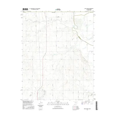
2016 Map of Welch North
USGS Topo · Published 2016About this map
The northern edge of Craig Co and the border with Ottawa Co define this northern Oklahoma landscape just south of the Kansas state line. The terrain is characterized by a dense network of watercourses, most notably the Neosho River which feeds into the northern reaches of Grand Lake O' the Cherokees. Smaller tributaries such as Russell Creek, Elm Creek, and Little Cabin Creek cut through the sections, reflecting the hydraulic importance of this region to the Grand Lake watershed.
Find a feature on this map
47 named features on this map. Tap any name to fly to it.
Don’t see what you’re looking for? This feature index may not catch every label — zoom into the map to look around manually.
Map Details
Editions of this 2016 Welch North Map
This is the sole edition of this map. No revisions or reprints were ever made.
Other maps of this area

1886 · Joplin
USGS Topo · 1:125,000

1886 · Parsons
USGS Topo · 1:125,000

1893 · Parsons
USGS Topo · 1:125,000

1894 · Joplin
USGS Topo · 1:125,000

1901 · Vinita
USGS Topo · 1:125,000

1907 · Wyandotte
USGS Topo · 1:125,000

1909 · Wyandotte
USGS Topo · 1:125,000

1913 · Vinita
USGS Topo · 1:125,000

1918 · Columbus
USGS Topo · 1:62,500

1944 · Oswego
USGS Topo · 1:62,500