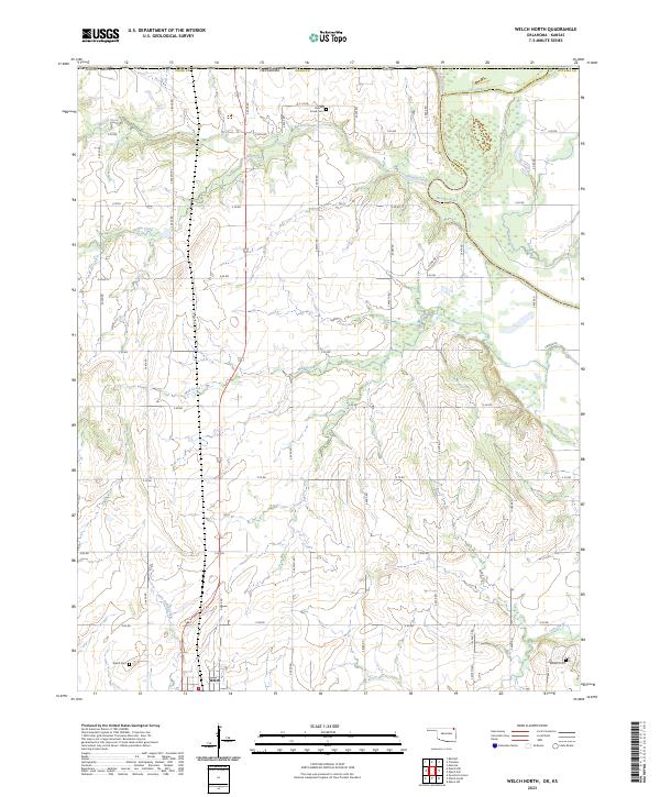
2023 Map of Welch North
USGS Topo · Published 2023About this map
Welch sits at the southern edge of this Oklahoma prairie landscape, where the agricultural grid of Craig County meets the winding path of the Neosho River. The region is defined by a dense network of watercourses, including Russell Creek and Fly Creek in the north and Little Cabin Creek near the town center. These creeks create a complex drainage pattern across the township lines of t29n r20e and t29n r21e.
Find a feature on this map
45 named features on this map. Tap any name to fly to it.
Don’t see what you’re looking for? This feature index may not catch every label — zoom into the map to look around manually.
Map Details
Editions of this 2023 Welch North Map
This is the sole edition of this map. No revisions or reprints were ever made.
Other maps of this area

1886 · Joplin
USGS Topo · 1:125,000

1886 · Parsons
USGS Topo · 1:125,000

1893 · Parsons
USGS Topo · 1:125,000

1894 · Joplin
USGS Topo · 1:125,000

1901 · Vinita
USGS Topo · 1:125,000

1907 · Wyandotte
USGS Topo · 1:125,000

1909 · Wyandotte
USGS Topo · 1:125,000

1913 · Vinita
USGS Topo · 1:125,000

1918 · Columbus
USGS Topo · 1:62,500

1944 · Oswego
USGS Topo · 1:62,500