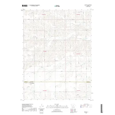
2018 Map of Weldon
USGS Topo · Published 2018About this map
Weldon serves as the central hub for this portion of southern Iowa, straddling the border of Clarke and Decatur Counties. The settlement pattern follows a distinct rural grid, intersected by significant drainage systems including the Weldon River and White Breast Creek. The land is heavily marked by a high density of ancestral burial grounds, including Ellis Cemetery, Lewis Cemetery, Horton Cemetery, and Metier Cemetery, which are scattered among the township sections. These landmarks, along with many others like Hebron Cemetery and Chaney Cemetery, provide a detailed genealogical framework for the area. The topography is defined by the winding paths of Chariton Creek and Hoosier Creek, which have carved intricate drainage patterns throughout the landscape, influencing the placement of local roads like County Road J12 and County Road H50.
Find a feature on this map
36 named features on this map. Tap any name to fly to it.
Don’t see what you’re looking for? This feature index may not catch every label — zoom into the map to look around manually.
Map Details
Editions of this 2018 Weldon Map
This is the sole edition of this map. No revisions or reprints were ever made.
Other maps of this area

1950 · New Virginia
USGS Topo · 1:62,500

1951 · Osceola
USGS Topo · 1:62,500

1952 · New Virginia
USGS Topo · 1:62,500

1954 · Centerville
USGS Topo · 1:250,000

1954 · Des Moines
USGS Topo · 1:250,000

1956 · Des Moines
USGS Topo · 1:250,000

1957 · Des Moines
USGS Topo · 1:250,000

1957 · Centerville
USGS Topo · 1:250,000

1958 · Centerville
USGS Topo · 1:250,000

1965 · Weldon
USGS Topo · 1:24,000