Loading...
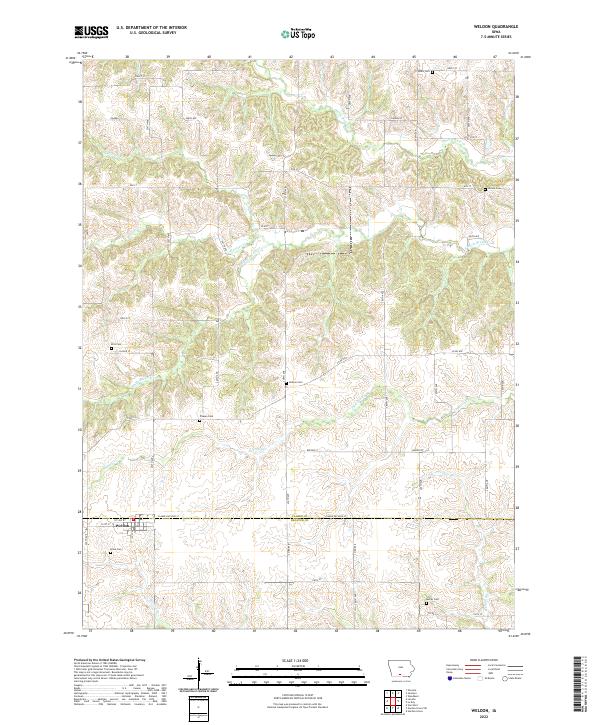
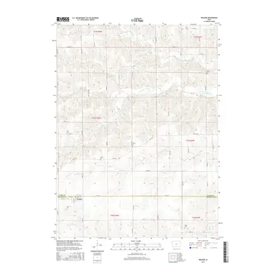
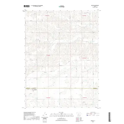
Loading map...2022 Map of Weldon
USGS Topo · Published 2022About this map
Weldon sits at the southwestern edge of this landscape, positioned where the Weldon River and Weldon Cr begin their southward drainage across the border of Clarke and Decatur Counties. This area of southern Iowa is defined by a dense network of small watercourses, including S White Breast Cr and Chariton Cr, which carve through the terrain between the section lines of the Public Land Survey System.
Find a feature on this map
51 named features on this map. Tap any name to fly to it.
Don’t see what you’re looking for? This feature index may not catch every label — zoom into the map to look around manually.
Map Details
Date Portrayed2022
Date Published2022
PublisherU.S. Geological Survey
Map TypeTopographic
Scale1:24,000
Physical Dimensions24 x 29 inches
Editions of this 2022 Weldon Map
This is the sole edition of this map. No revisions or reprints were ever made.
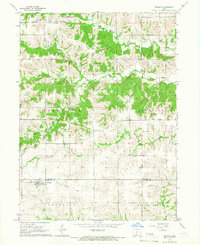
Historical Maps of Weldon Through Time
6 maps found
Featured Locations
Source Details
SourceU.S. Geological Survey
CopyrightPublic Domain